Image may be NSFW.
Clik here to view.
Clik here to view.

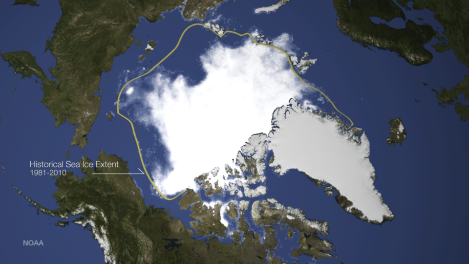
This image shows the sea ice concentration on September 17, 2014, along with a yellow line indicating the median sea ice extent for 1981-2010. Credit: NOAA
According to analysis by the National Snow and Ice Data Center, sea ice in the Arctic reached its annual minimum on September 17, 2014. At 5.02 million square kilometers or 1.94 million square miles, this was the sixth lowest amount of ice on record since satellite observations began in 1979. This image, using microwave data from the SSMIS sensor on the DMSP satellites, shows the sea ice concentration on September 17, 2014, along with a yellow line indicating the median sea ice extent for 1981-2010.